The mapping has been going very well. We have collected the data for a detailed plan view of Schwatka and today will begin cross-sections of various parts of the ship.
There are many interesting features on this vessel. To our surprise it is not consistently constructed – particularly in the chines, where five different frame designs can be seen in as many consecutive frame stations. Additionally there have been many repairs near the stern. These inconsistencies make mapping challenge, but given six other Gold Rush-era steamboats lie adjacent in the old yard, we have the ability to view construction on these other vessels, discuss the nuances of design, and get some great data.

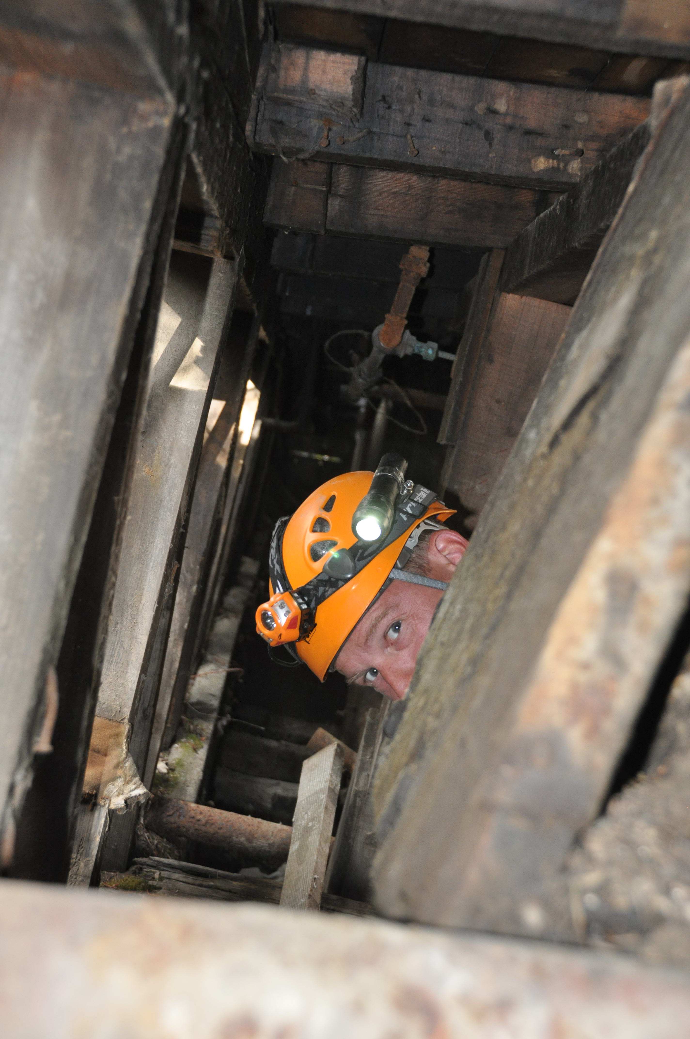
The superstructure of Schwatka has collapsed thus we can only enter the hull or walk on top of the debris pile. In the hull, headroom is approximately 1.5 m (5 feet) at best and we often must crawl under low areas on our chests. The starboard and central portions of the vessel are sound, but the port side is collapsing, and there we have had to limit our time and change our methods so that we could gather as much data as possible without taking unnecessary chances.
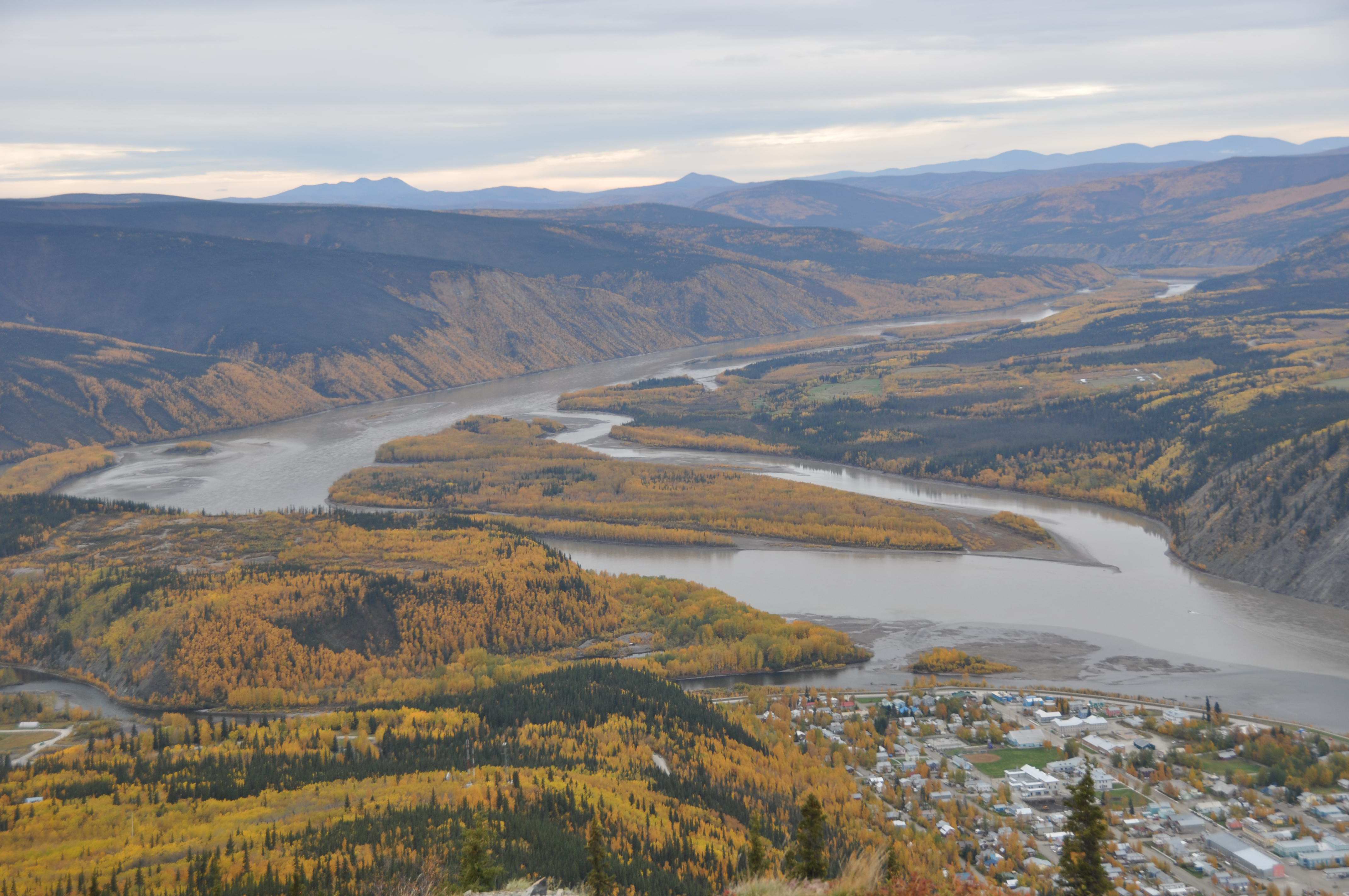
It is Sunday night in Dawson and very quiet. The tourist season is winding down and the locals are preparing for the Yukon winter. There are some massive wood piles in front of some of the houses and the aspen stands surrounding the town are bright gold.
On our way to Schwatka this morning we decided to look at Steamboat Slough as we wanted to check the water conditions. Last year we used a Starfish 452F side scan sonar to locate a few targets that may be the steamboats Mona and Glenora. Both vessels burned in March 1901 while in winter quarters. Unfortunately there is a silt-laden tributary of the Yukon River immediately upstream of Steamboat Slough, and recent rain has reduced the visibility from four inches to virtually zero. It will be next to impossible to visually confirm the nature of our targets. From the road near the mountain top we could look down on the Slough. The water level was lower than last year, and it was decided to try to get down on the river.
As we drove off into the wilderness we came across a large sign that warned us about golf cart traffic crossing the road. A few minutes further as we looked towards the river there was a beautiful golf course nestled amongst the aspen trees. The aspens are a wonderful yellow as their leaves turn to their fall colors, so the contrast between the vibrant greens of the golf course and the brilliant yellows of the aspens was a site to behold. I should mention that the golf course had old gold dredge buckets as hazards on the course. Very cool!
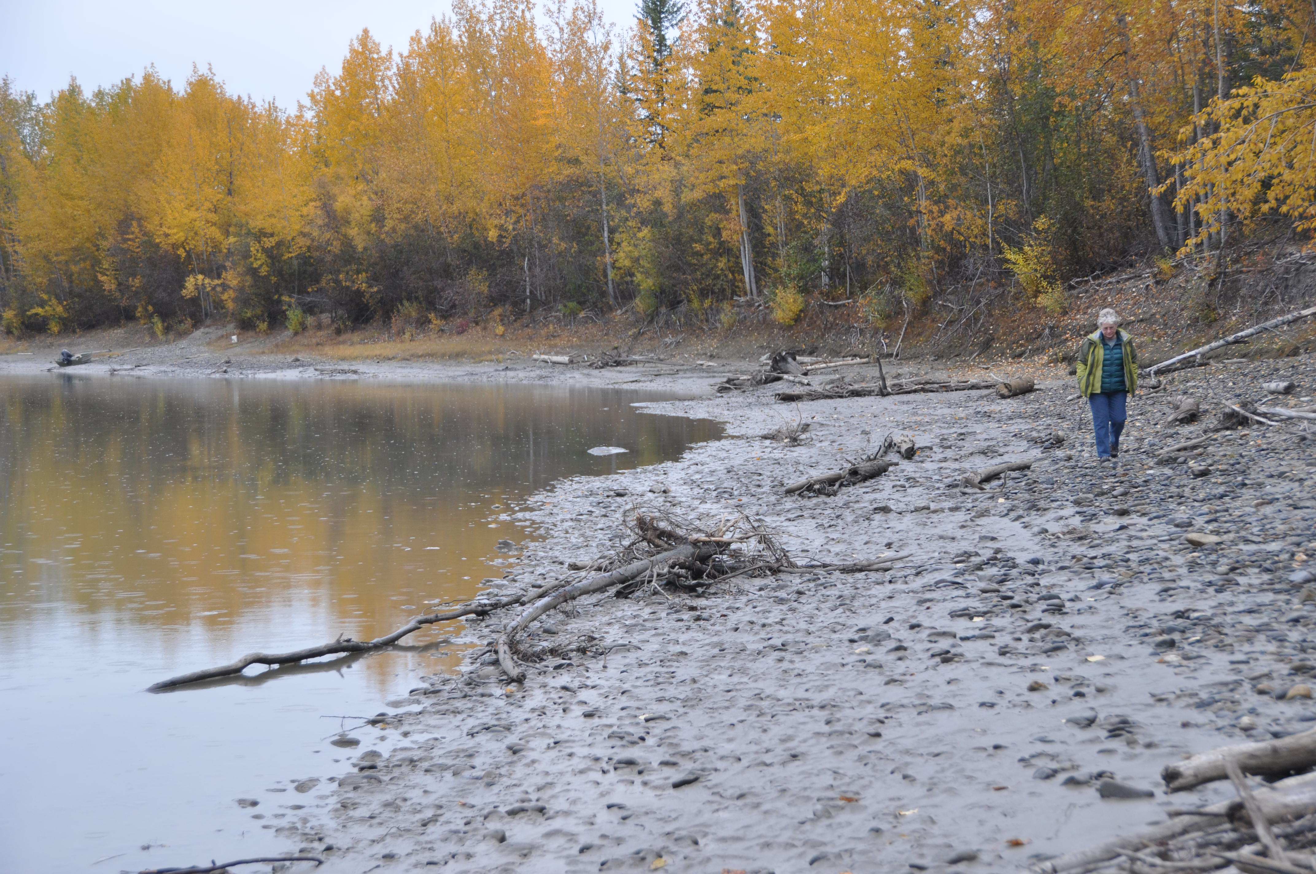
Charlie the Caretaker pointed us to the right trail, and we eventually found good access to the riverbank. Once we stepped onto the river’s edge we were in Yukon wilderness. In the mud on the riverbank were animal tracks from caribou, moose, wolves, and bears. These tracks were very fresh, so with bear sprays in hand and watchful eyes the team continued 3 km downstream. Getting down river was a mission in itself, with mud, a river bank that fell away at contact and at times being forced up and into the forest…however, the serenity and scenery made up for it all.
Once we reached the historic over-wintering area, the river gave up a new site – a 25-30 m (80-100 foot) line of frames broke the water near shore, and material eroding from the bank made it clear people used this area for a long time. A drone was used to get aerial footage of our search area, and we will return in two days with dry suits to measure remains of the hull.
For now however we must return to Schwatka, and continue our documentation of the hull.